Sometimes, the best way to learn about wayfinding is to get lost in an unfamiliar country—or at least this was the premise behind the Knowhere: Italy summer workshop.
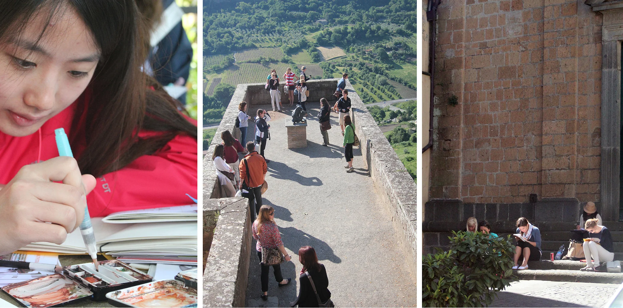
In summers 2009 and 2011, curious Miami University architecture, interior design, and graphic design students braved the wilds of Italy, exploring how context and human behavior influence navigation. A series of drawing prompts were provided, which asked students to look at specific environmental, behavioral, or graphic clues. They then generated various diagrams explaining how each of these clues helped define space, establish a sense of place, and/or influence how people navigated the area.
A total of five cities were explored: Rome, Orvieto, Florence, Verona, and Milan. At the end of each investigation, students developed unique maps of their experiences and findings in that city. At the end of the workshop, a series of invited critiques met the students in Milan for an informal discussion about their work over espresso and gelato at La Triennale di Milano.
wandering: a sample of daily prompts
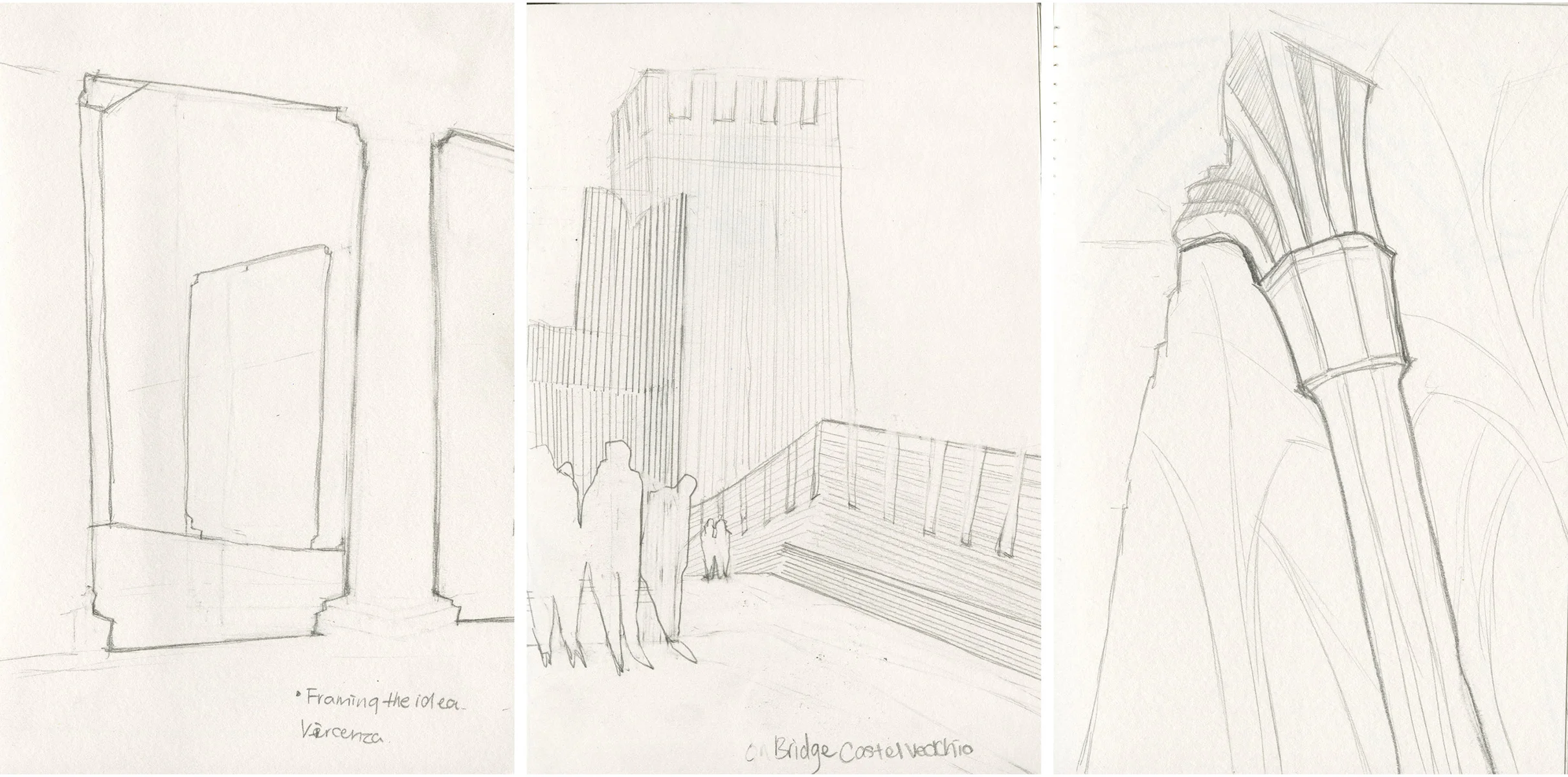
framing the idea. Carefully construct a series exploring the shapes of apertures, or openings, found within an area. These might be windows, doorways, skylights or openings in a floor condition.
framing the idea and people watching by Sharon Peng
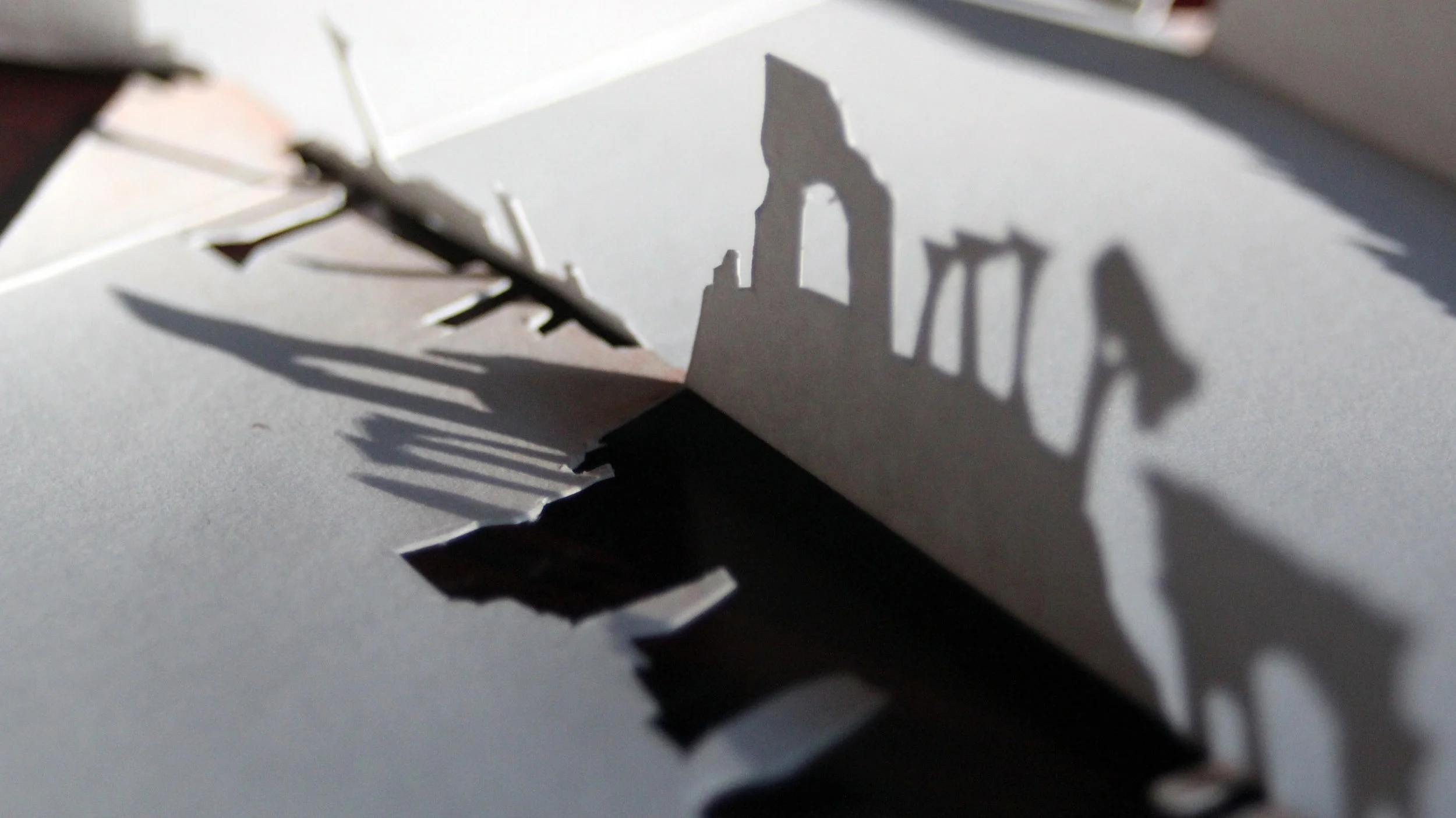
land of shadows. Construct a series of well crafted elevation drawings investigating the shapes of shadows as they fall upon an exterior façade. What are the primary shapes of these shadows, and how do they help in the interpretation of the façade upon which they are found?
matrix of colors. Compose a series of drawings that carefully capture the hue and tone of a façade. Accomplish this by carefully constructing a line drawing of the elevation and overlay a grid of at least ten units by eight units upon this. Fill each square / rectangle of the grid with a single color found within that area.
high profiles by Aaron Schordock
matrix of colors
land of shadows by tiffany fry
spatial sequence by tiffany fry
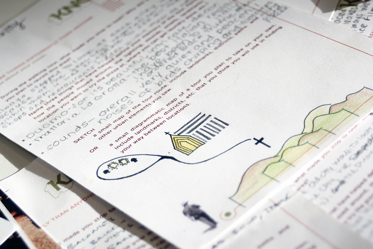
first impressions questionairre
final maps
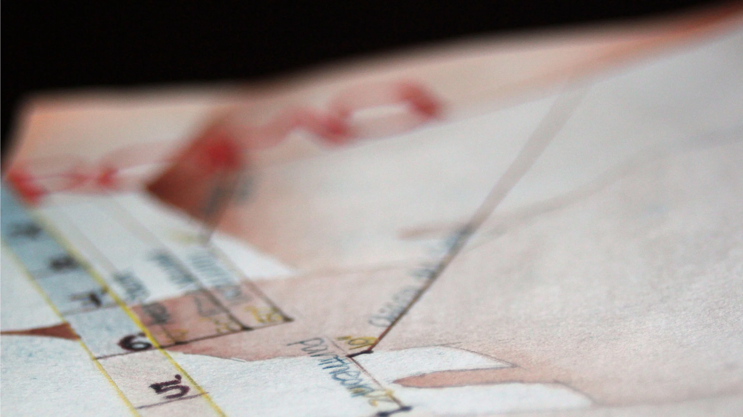
Think about how the world around you helps inform you, and map this exploration. Use traditional drawing techniques to develop a cognitive map of your urban explorations. As you work on this map, make sure to include at least the following elements:
found object: use a minimum of one found object from each city investigated
made object: a minimum of one self-generated piece from each exploration
3d element: use at least one three-dimensional technique
2d element: use at least one two-dimensional element
landmarks: locate at least two unknown monuments, sites or places
variables: locate at least two unknown monuments, sites or places in relation to these landmarks
orientation: include a compass rose, or other orienting device include a key for any symbols used (consider photographing monuments with symbol sheets and printing on pogo)
Rome experiential map by Sharon Peng
Florence experiential detail and map by Sharon Peng
detail of Rome map by Sharon Peng
Rome, Florence, and Verona experiential maps by Emma Cooper
Orvieto and Milan experiential maps by Catherine Berry
Rome experiential map by Meredity McBride

